See photos (4)
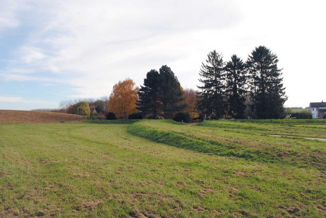
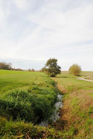
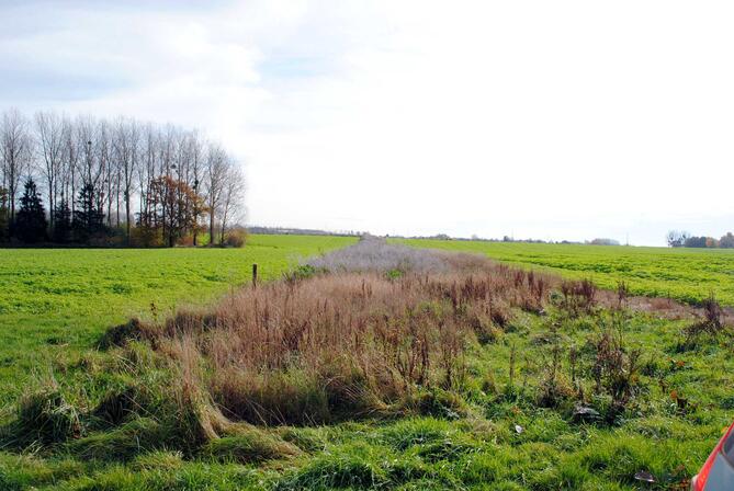
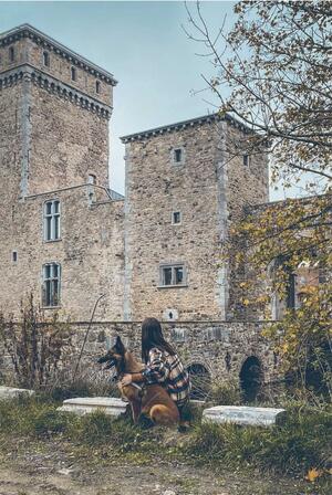
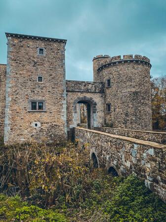
Circuit autour du château de Seraing-le-Château
Walking/pedestrian
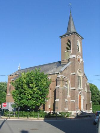
in Chapon-Seraing
9.7
km
Loop
Walking/pedestrian
2h
Easy
- Departure
- Chapon-Seraing
-
-
Difference in height
- 78.61 m
-
-
-
Documentation
- GPX / KML files allow you to export the trail of your hike to your GPS (or other navigation tool)
-
- See all reviews
- Points of interest
1

A
B


2
c

3
D
4
E
5
F


6
7
G
8
9
H
10
i

11
j

12
k

13
L
14
15
M
16
17
N
- 79 meters of difference in height
-
- Start altitude : 183 m
- End altitude : 183 m
- Maximum altitude : 185 m
- Minimum altitude : 152 m
- Total positive elevation : 79 m
- Total negative elevation : -79 m
- Max positive elevation : 12 m
- Min positive elevation : -17 m