Froide Fontaine
Walking/pedestrian
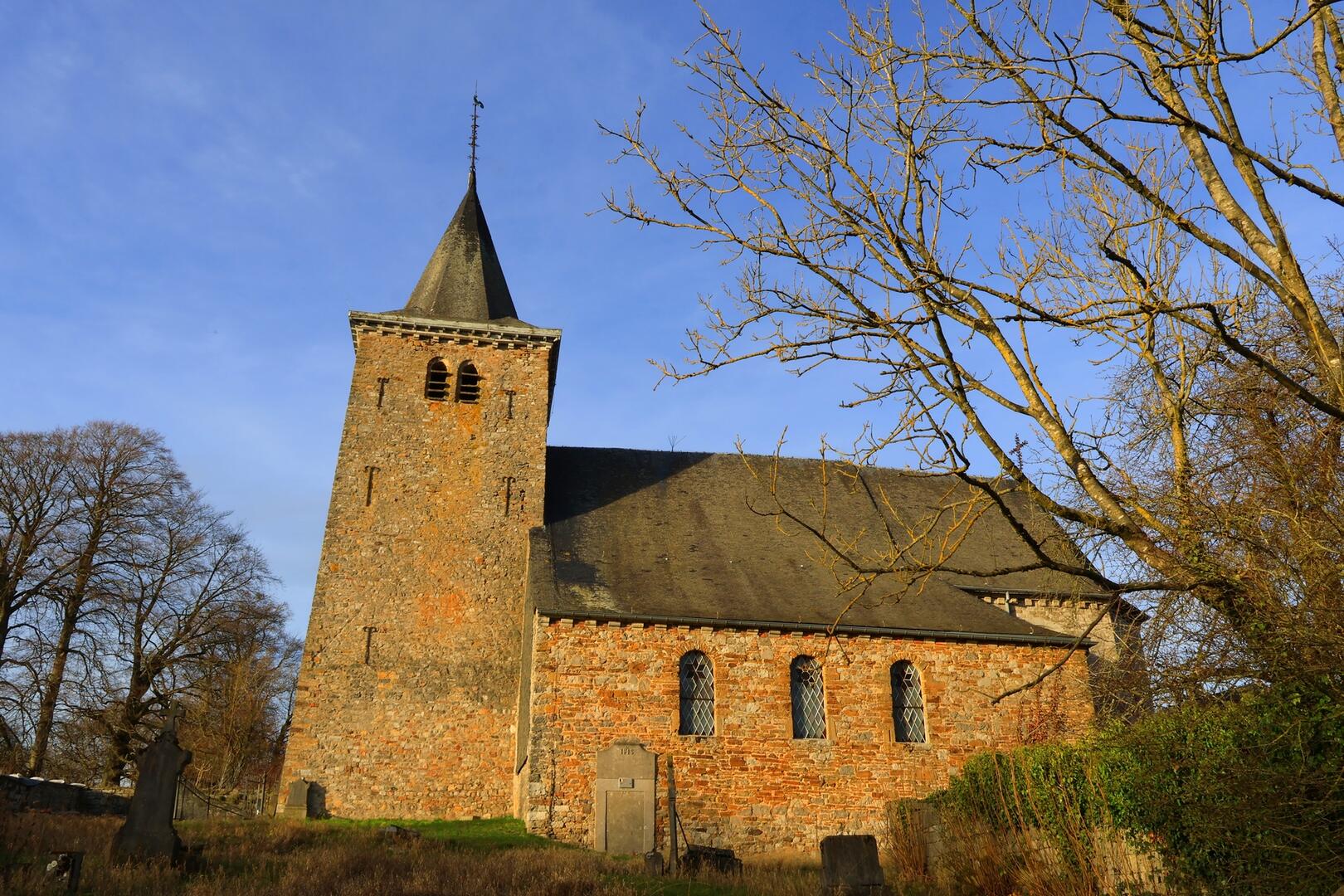
in Strée
8.2
km
Loop
Walking/pedestrian
2h
Medium
- See all reviews
- 170 meters of difference in height
-
- Start altitude : 259 m
- End altitude : 259 m
- Maximum altitude : 270 m
- Minimum altitude : 199 m
- Total positive elevation : 170 m
- Total negative elevation : -170 m
- Max positive elevation : 32 m
- Min positive elevation : -39 m
